9/27/2013
Death Valley National Park, California
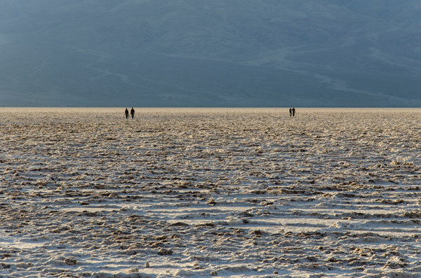
Badwater Basin (Southern Section), Death Valley National Park
I've been going to Death Valley National Park once a year for the last 4 years. I always go in the middle of winter or late spring. I'm not interested in experiencing 120 degree weather. Temperatures are usually quite pleasant in the winter with highs in the 70s and lows in the 40s. Death Valley NP is huge. It covers 5,270 square miles. Driving the length of the park from North to South would take 4 and a half hours. The main roads in the park are paved and very well maintained. Much of the park is only accessible via dirt roads and trails though. Many of those roads are not passable without a high clearance 4 wheel drive vehicle. For the purpose of writing and organizing this I'm going to divide the park approximate thirds. I haven't come close to exploring the entire park yet. I'll only discuss the parts of the park I've been to and thought were interesting here. The National Parks website is a good place for more comprehensive coverage.
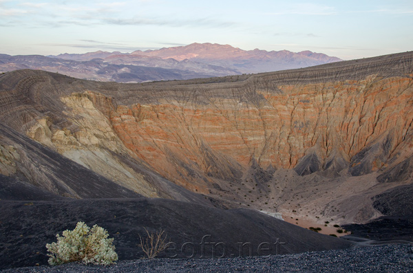
The Northern part of the park includes: Mesquite Springs camp ground, Ubehebe Crater, etc.
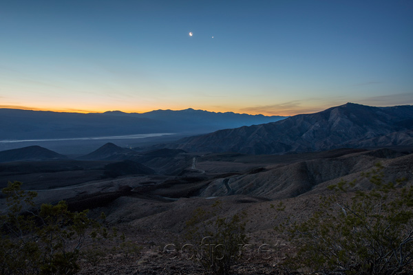
Father Crowley Viewpoint (Central-West Section), Death Valley National Park
Ubehebe Crater (Northern Section), Death Valley National Park
All content on these pages Copyright Mark Hedlund 2012-2019. All rights reserved. Use in school projects and with links on social media is always okay. Please send me an email to request permission for any other use: hedlunch@yahoo.com Non-exclusive commercial publication rights for most photos is $25 per image.


